|
Posted: 9/5/2021 11:56:12 PM EDT
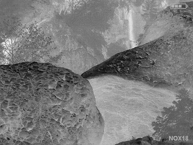
Toutle River
Coming up from the Blue Lake trailhead  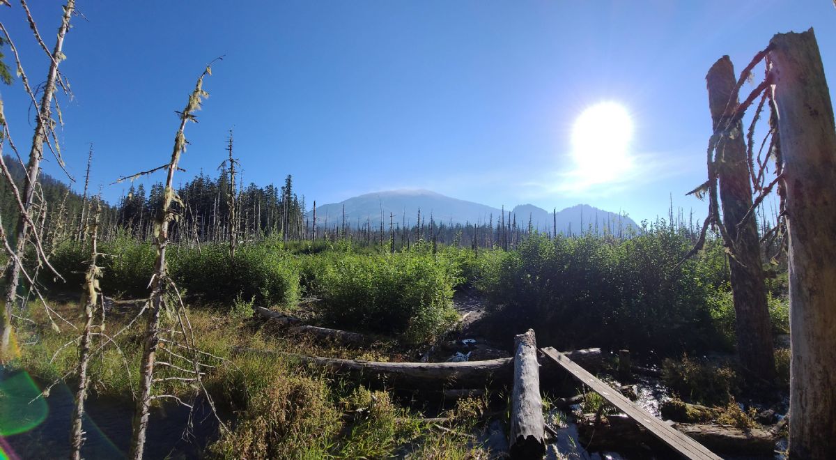 Blue Lake  Curly Creek Falls     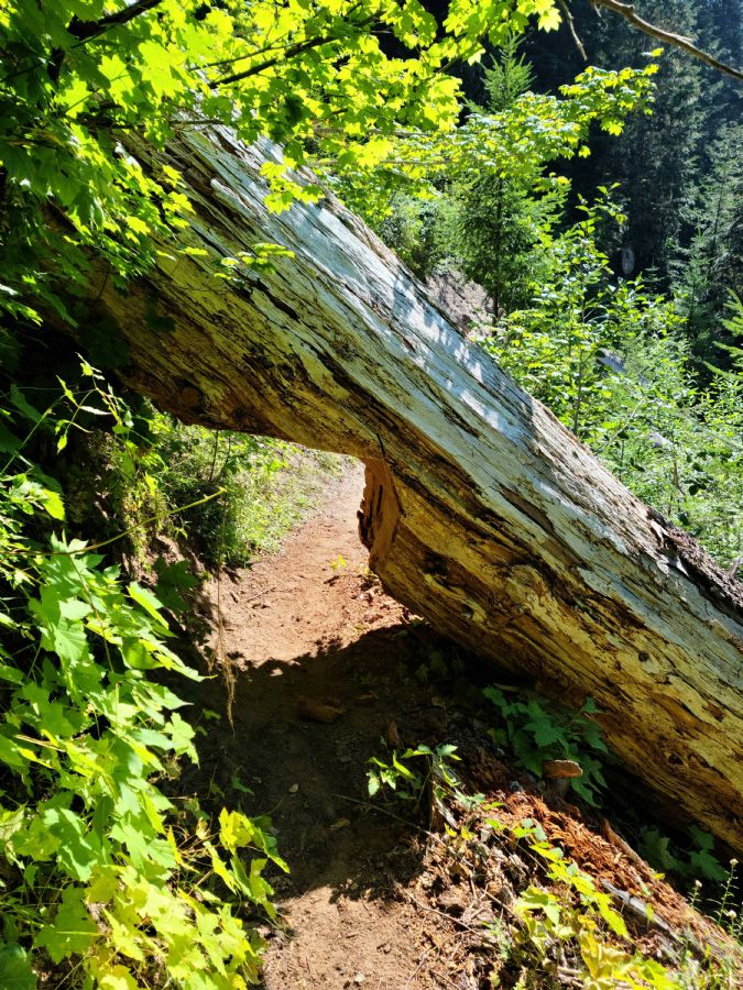
|
|
|
|
[#1]
Looking down on the South Fork
 Rockslide up the valley  South Fork    Rope climb to get up the north bank. It was pretty sketchy coming back down. Nice trail on the other side but my wife and the dog couldn't make it up.  
|
|
|
|
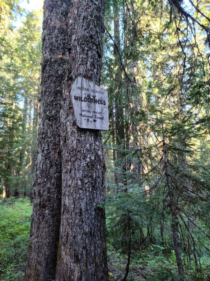
[#2]
Indian Heaven
  Lake by the trailhead 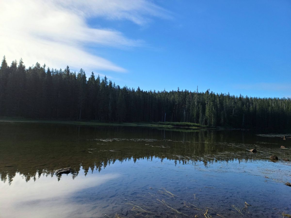 Heading up to the plateau. A lot more open under the trees vrs down in the river valleys.   Lots of trees down including some quite large ones. I'm assuming this from the big wind storm we had last winter.  These rock piles are all over the place. I think they're from old mining activities.  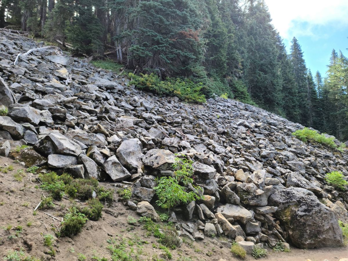
|
|
|
|
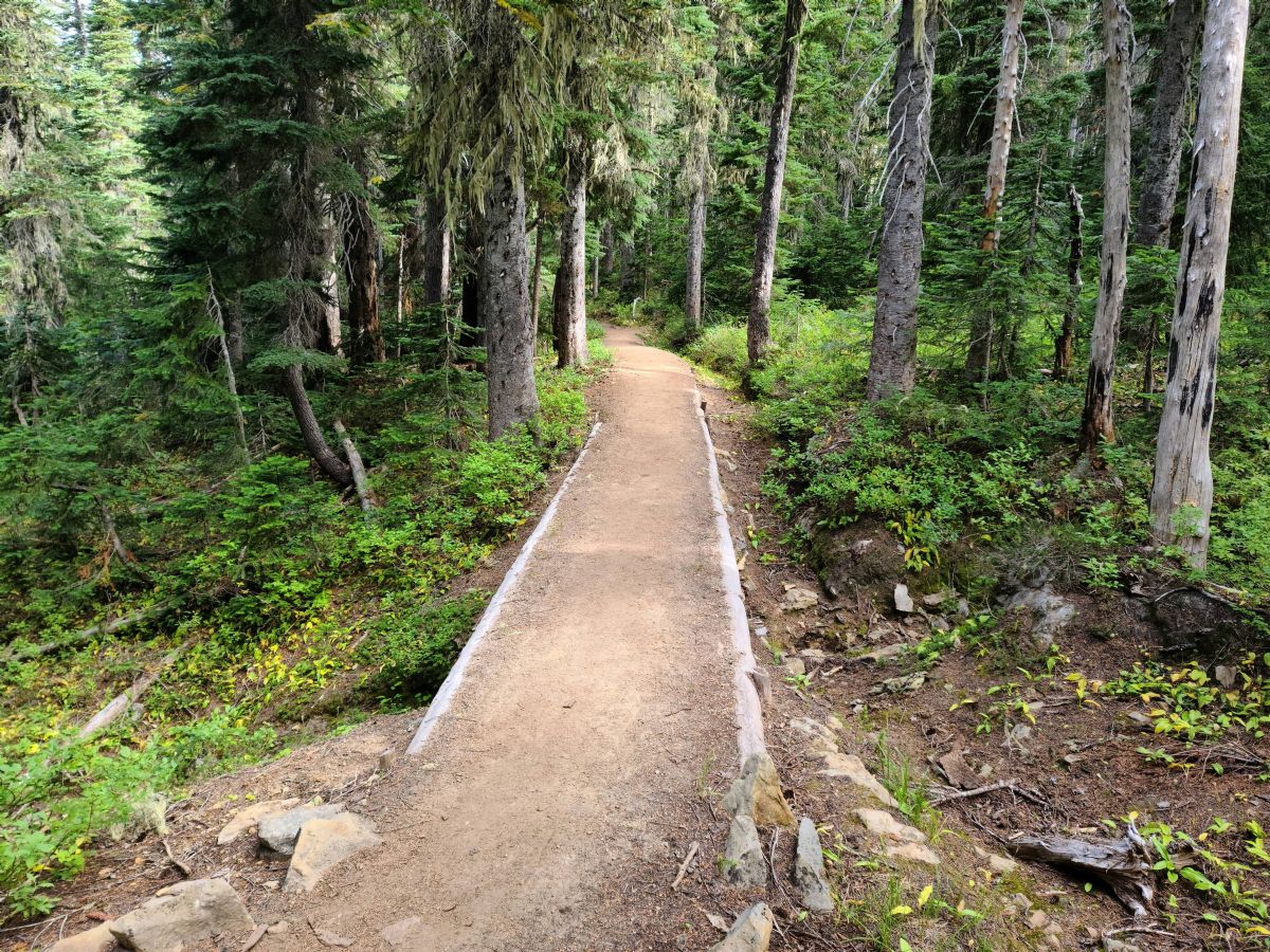
[#3]
Up onto the pacific crest trail. It's a superhighway compared to most of the local trails.
 There are a lot of springs in the area. Some form ponds and others stay under ground and create marsh or grassy areas  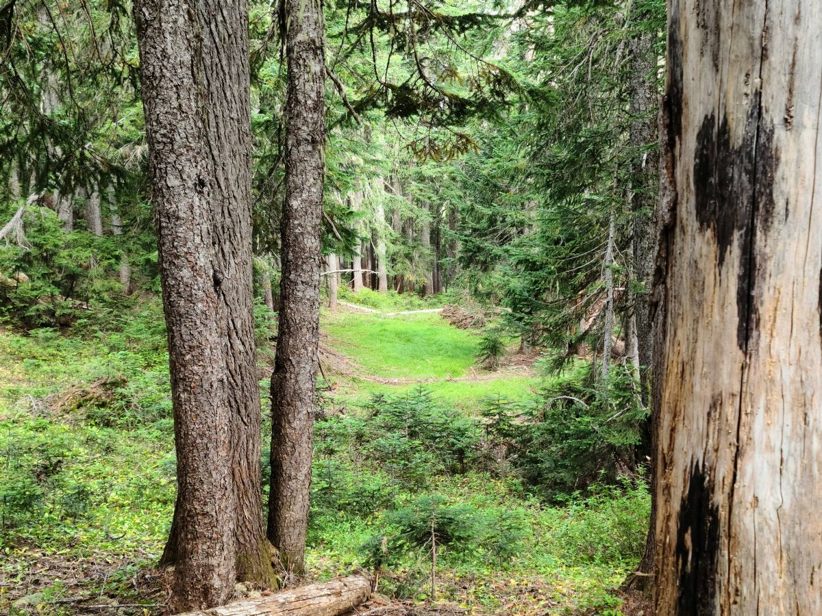 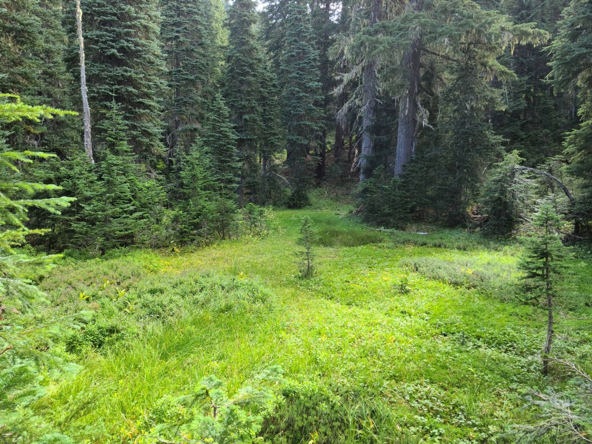 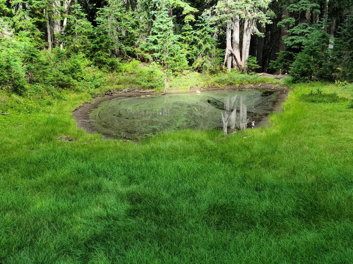 Larger lakes further south   Headed back north on the abandoned rush creek trail. It was pretty decent most of the way and marked out with streamers so hopefully they are planning on maintaining it again at some point 
|
|
|
|
[#4]
Looks like some good adventures.

|
|
|
|
[#5]
Great pics! Thank you for posting them!
|
|
|
|
[#6]
Great pics,, i've done
Colchuck Section J PCT stevens to Snoqualmie Summit st Helen's, if you want to call it a summit I guess, lol Definitely need to get back in the woods |
|
|
|
[#7]
Well now OP I just walked away with ideas for hikes in cool areas…thanks!
|
|
|
|
[#8]
Wta.org has alot of good hiking info
|
|
|
|
[#9]
Like 161 said, WTA is great for research and recent trail conditions but is usually lacking on more technical trails and locations. If you have an account the washington hikers and climbers facebook group is very active and can share lots of info.
My 3yr old is good for about a mile of hiking before she ends up in the backpack for a packweight of ~50lbs. Its good training and she loves being in the woods so it gives me some extra motivation. In the last few weeks I've done: Mt. Pilchuck, approached via the east ridge/pinnacle lake and descended the normal route 3 Fingers Lookout via Meadow Mountain trail Sauk Mtn. (really great payoff for such a short hike) Blanca lake Hurricane hill/hurricane ridge Overnight at Twin lakes, wanted to summit Columbia Peak in the morning but got rained out, visibility was at most 30ft until almost back to Monte Cristo Green giant buttress, wanted to recon the approach route to plan future rock climbs in the area I am hoping my schedule, child care and the weather all cooperate to get in a through hike of the enchantments in early October. |
|
|
|
[#10]
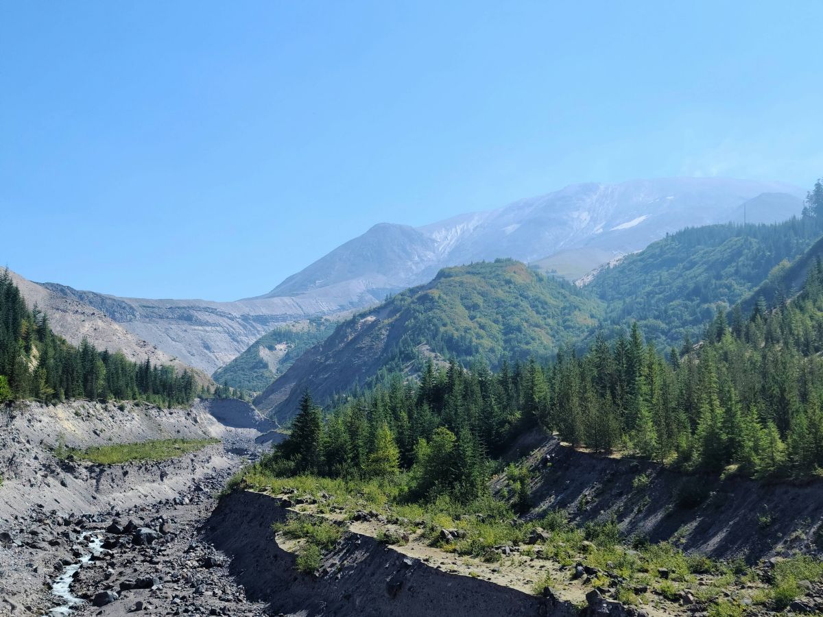
June lake to Ape Canyon. 17.53/3216
June lake   Heading up to the Loowit trail 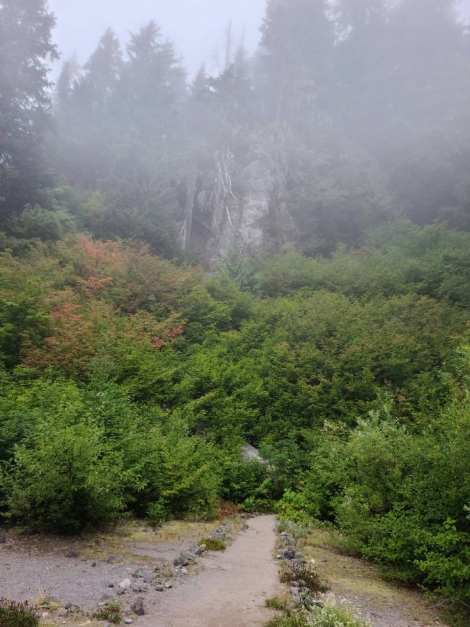    
|
|
|
|
[#11]
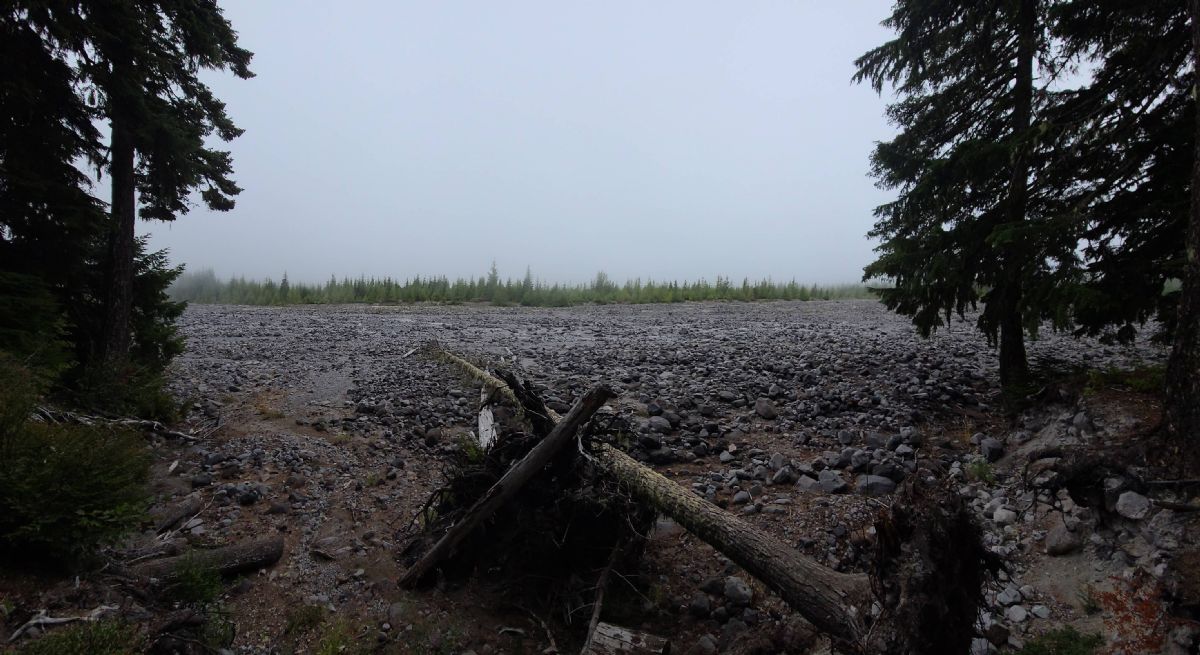
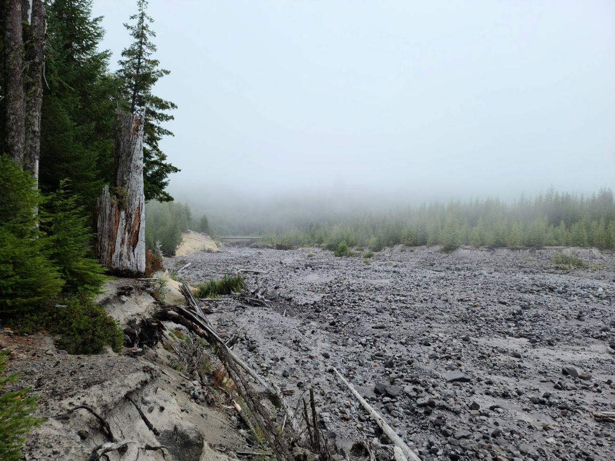
Leveling out on the southeast side of the mountain
   One of the headwaters of the Muddy River. As near as we could tell this is the the start of the branch that ultimately flows down through Ape Canyon. Looks like there used to be a bridge here.  Notice the rebar in the upper part. 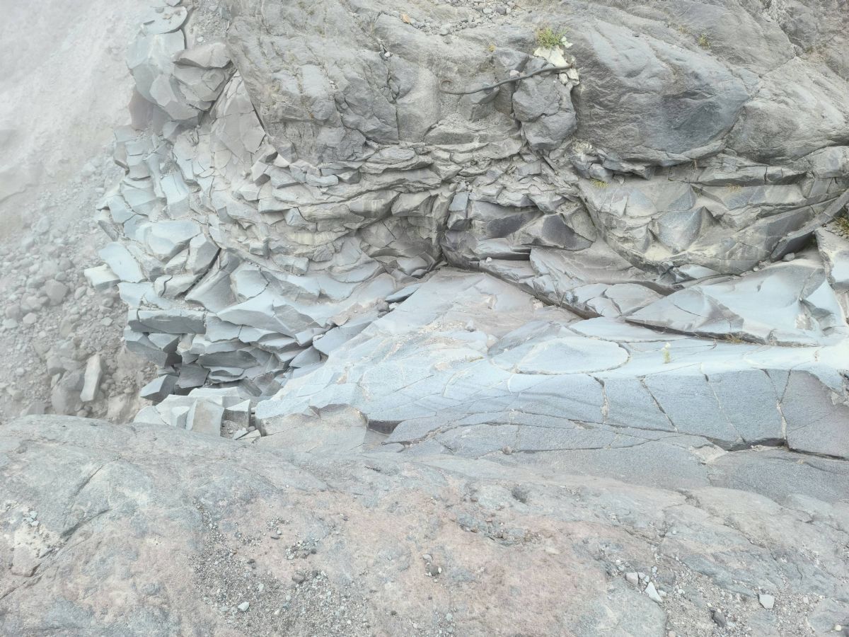
|
|
|
|
[#12]
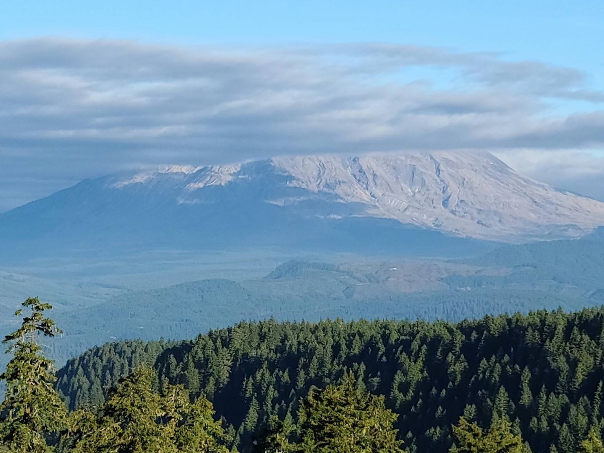
Plains of Abraham. This is the southern end. We had planned to hike further up but the conditions were poor and it was getting late in the day.
    |
|
|
|
[#13]
Headed back down and the trail joins back up with the Muddy River. We hiked back along the road to June Lake.
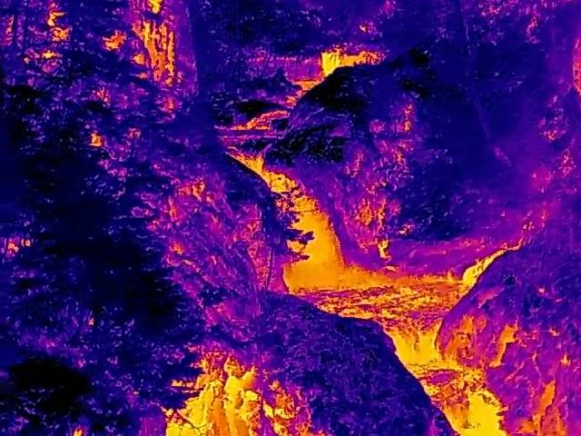
    Pics from a previous trip. This is east and down hill where the Muddy River joins up with Smith Creek. From there it heads south to the Lewis and Swift. There's a trail that heads north by northwest along Smith creek that supposedly goes all the way to Windy Ridge but we've never gone the whole way. 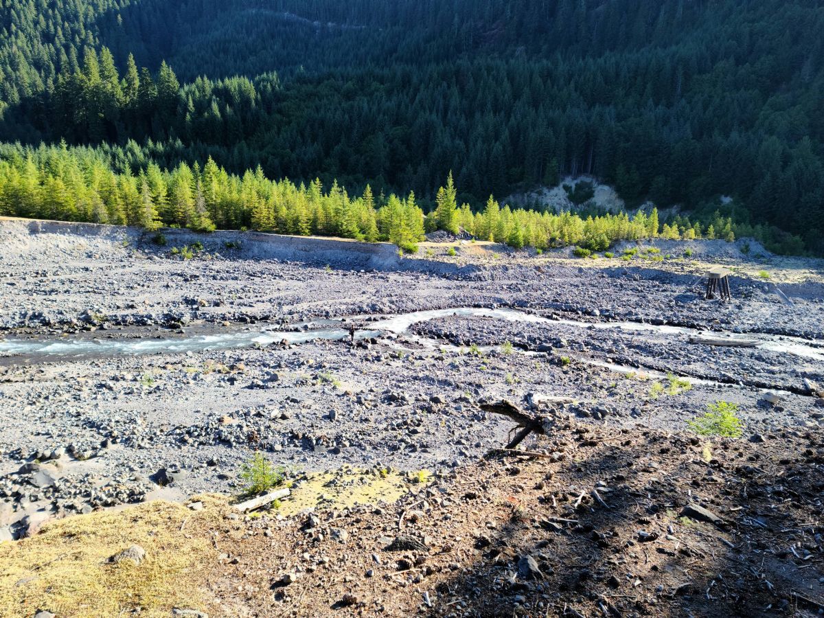  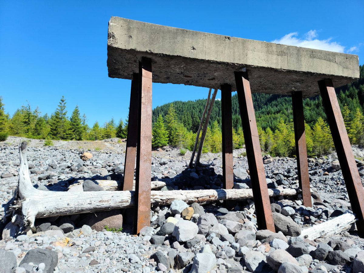  Notice the difference in the color of the water where Smith Creek meets the Muddy River 
|
|
|
|
[#14]
Been camping at that Muddy River spot for years now
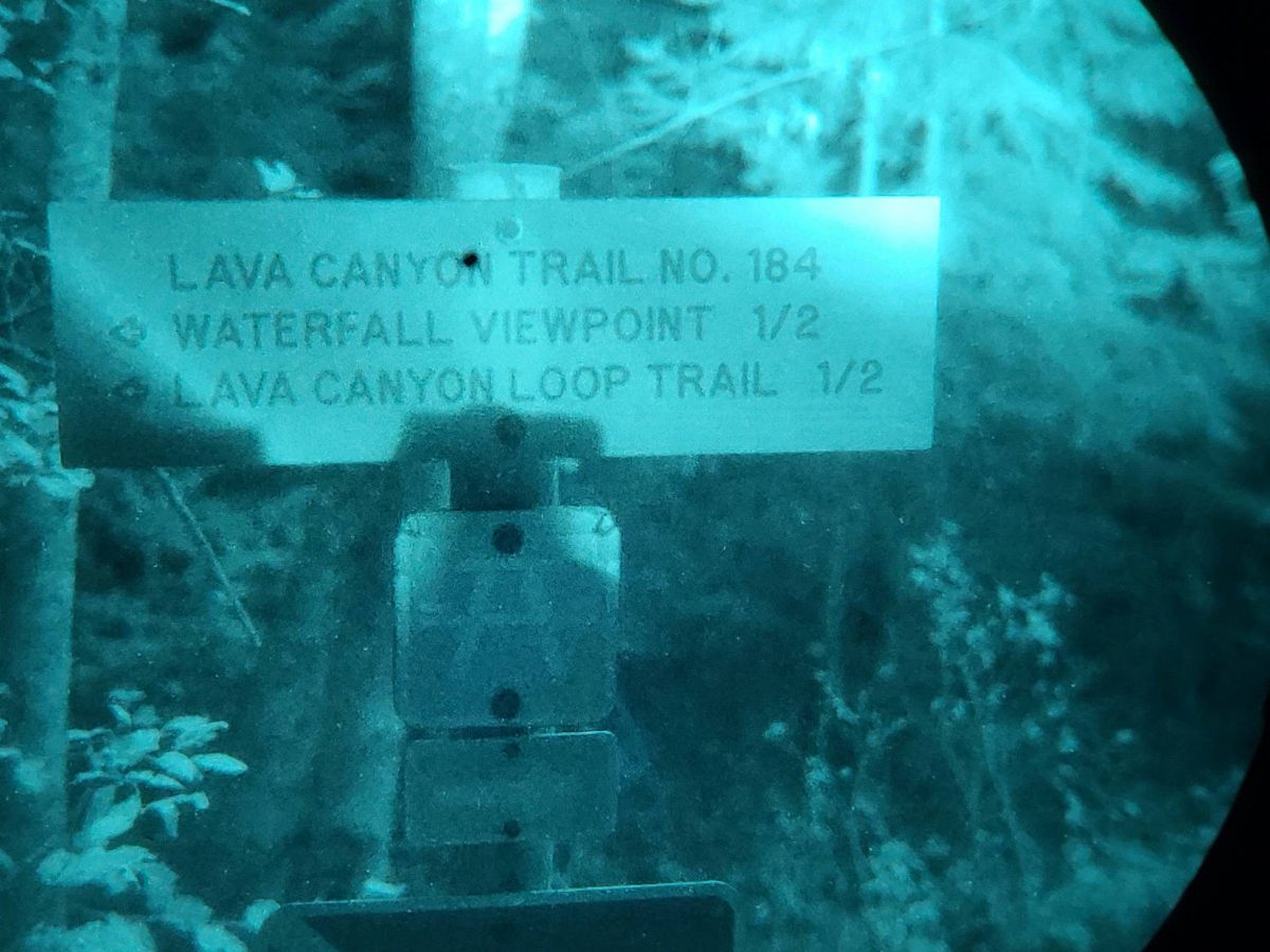
  The Lava Canyon hike from there is incredible too. 
|
|
|
|
[#15]
Haven't been to lava canyon in a few years. We're hoping to run it before the snow sets in.
|
|
|
|
[#16]
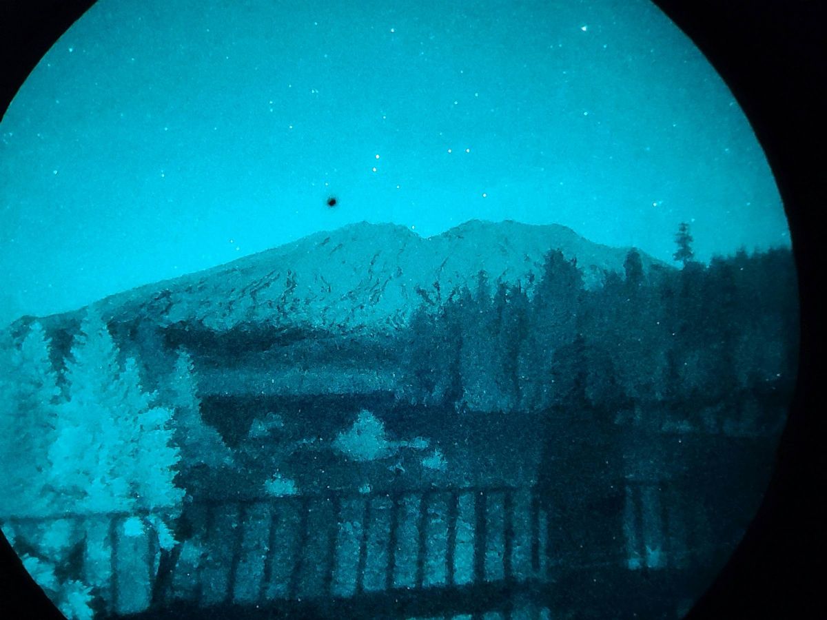
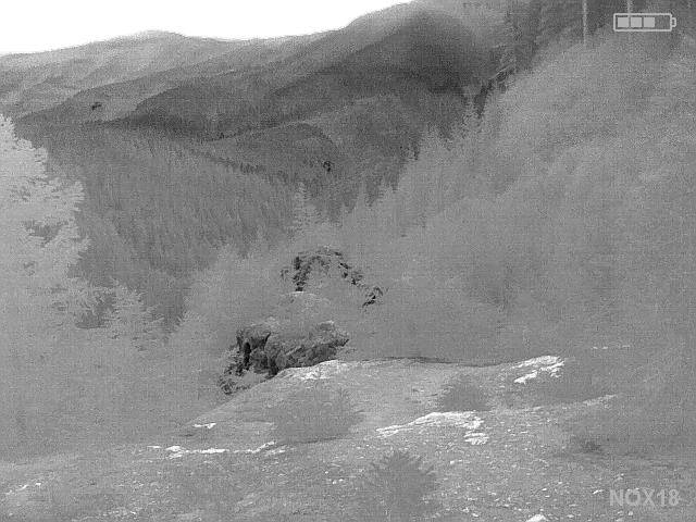
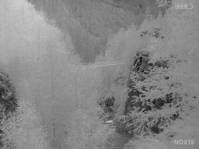
Lava Canyon
|
|
|
|
[#17]
|
|
|
|
[#18]
|
|
|
|
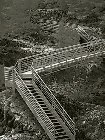
[#19]
|
|
|
|
[#20]
I was just at the Muddy River/Lava Canyon Spot over the weekend as well.

|
|
|
|
[#21]
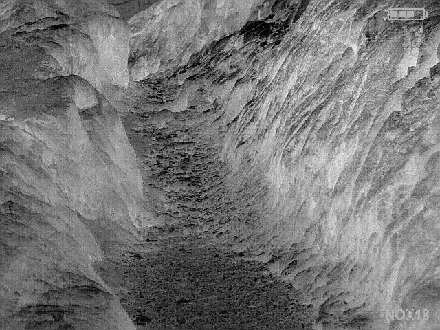
We would like to run the Smith Creek trail at night but crossing the Muddy River in the dark this time of the year seems daunting especially on the return trip when we'll be tired. At Lava Canyon we went around the right side and climbed out on several of the Rock formations over the trail. The suspension bridge is closed and had chain link across it so we called it a night. We might go back and run the left side if the snow doesn't come. My wife doesn't want to do the ladder in the dark though so we can't get down to Smith Creek that way.
|
|
|
 Win a FREE Membership!
Sign up for the ARFCOM weekly newsletter and be entered to win a free ARFCOM membership. One new winner* is announced every week!
You will receive an email every Friday morning featuring the latest chatter from the hottest topics, breaking news surrounding legislation, as well as exclusive deals only available to ARFCOM email subscribers.

AR15.COM is the world's largest firearm community and is a gathering place for firearm enthusiasts of all types.
From hunters and military members, to competition shooters and general firearm enthusiasts, we welcome anyone who values and respects the way of the firearm.

Subscribe to our monthly Newsletter to receive firearm news, product discounts from your favorite Industry Partners, and more.
Copyright © 1996-2024 AR15.COM LLC. All Rights Reserved.
Any use of this content without express written consent is prohibited.
AR15.Com reserves the right to overwrite or replace any affiliate, commercial, or monetizable links, posted by users, with our own.